The Alaska Marine Highway System is not a tourist attraction pretending to be transport — it is essential infrastructure connecting communities unreachable by road, threading through fjords where glaciers calve into channels and bald eagles outnumber traffic lights.
Understanding the system
Established in 1963, the AMHS spans approximately 3,500 miles of route — from Bellingham, Washington through Southeast Alaska's Inside Passage to Homer and Kodiak on the Gulf of Alaska. The system serves 35 communities, many without road access. For residents, it is a lifeline; for visitors, it is among the most spectacular slow-travel experiences in North America.
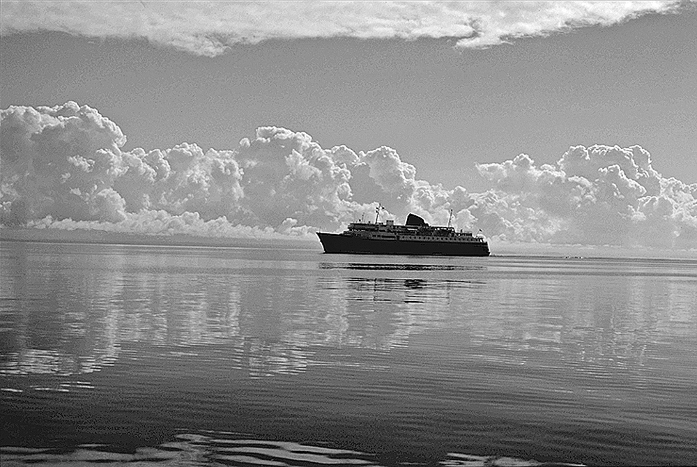
The fleet ranges from the flagship M/V Columbia (capacity 600 passengers, 134 vehicles) to smaller vessels serving remote villages. Ships are functional rather than luxurious — heated lounges, cafeterias, observation decks, and recliner chairs rather than spas or casinos. The scenery supplies the entertainment.
Vehicle space on popular summer sailings sells out months ahead. Foot passenger space is more available but cabins — especially on overnight routes — should be reserved early. The AMHS website releases schedules seasonally.
Key routes for travelers
Bellingham to Skagway (Inside Passage): The classic multi-day voyage through Southeast Alaska — Ketchikan, Wrangell, Petersburg, Juneau, Haines, Skagway. Allow three to five days depending on stops. Each community offers distinct character: Ketchikan's totem poles, Juneau's capital status, Skagway's Gold Rush history.
Cross-Gulf routes: Connections from Southeast Alaska to Southcentral (Whittier, Homer) cross open Gulf waters — rougher but dramatically shorter than driving. The Kennicott and Malaspina operate these routes seasonally.
Southwest Alaska: Routes to Kodiak, the Aleutian chain, and Dutch Harbor serve fishing communities and adventurous travelers. Weather cancellations are more frequent; flexibility is mandatory.
Life onboard
Most passengers camp on deck in sleeping bags during summer — a tradition on the AMHS. Covered solariums with reclining chairs fill quickly; arrive early to claim space. Private cabins exist on larger vessels but are modest. The cafeteria serves straightforward American fare; many passengers bring their own food.
Observation decks offer front-row seats to whale sightings, porpoise pods, and glacier approaches. Rangers occasionally board in Glacier Bay and Tracy Arm to narrate natural history. The social atmosphere is egalitarian — fishermen, seasonal workers, RV families, and international backpackers share tables and stories.
Planning your voyage
Start with the AMHS official schedule and fare calculator. Factor in "layover days" at ports — Juneau deserves two nights minimum; Haines connects to the Yukon by road. Weather delays are common; never schedule a tight connection to a flight on the same day as ferry arrival.
Bring binoculars, rain gear, and layers regardless of season. Southeast Alaska is a temperate rainforest — precipitation is a feature, not a bug. Download offline maps; cell service is intermittent between ports.
Why it matters
The AMHS represents a rare American commitment to public maritime transport — a highway of water maintained for communities, not profit margins. Traveling it is an act of participation in Alaska's geography rather than observation from a cruise ship balcony. Slow, essential, and unforgettable.